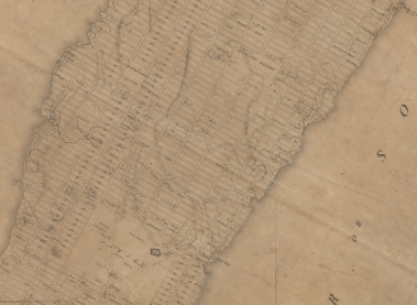
 This interactive map overlay illustrates the ways that street gridding schemes were instrumental in shaping modern cities, often irrespective of natural impediments to development.
Related article: “200th Birthday for the Map that Made New York”, by Sam Roberts.
