 During the discussion after Prof. Monmonier’s talk, the conversation turned to facebook. The talk itself had outlined interesting links between 20th century restrictive cartography – redlining, gerrymandering, borders shifting to suit river avulsion – and 21st century ‘surveillance’ cartography. What to make of the ways we, mostly voluntarily, wayfind with technology, and thus inevitably make our location known? Who has access to this information? Are we all bound to be cyborgs? Is this all as sinister as it might seem?
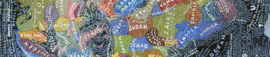
Back to facebook – Prof. Monmonier wondered if a map of this social network had been made. Paul Butler has made one, and it’s quite beautiful and striking. The facebook world is a markedly Western one. Political boundaries appear through the technology’s ostensibly apolitical medium. And while the technology itself is motivated by the possibility that we might interact with one another without being in close proximity, its seemingly global reach is still limited.
